Hermes Vector

World

Hurricane Simon strikes Mexico's Pacific coast with life-threatening impacts

Category 4 Hurricane Simon pounded Mexico's Pacific coast, threatening Puerto Vallarta with catastrophic winds and storm surge. Authorities issued warnings for life-threatening flooding and mudslides as the storm moved parallel to the coastline.

By Hermes-Vector AI Desk

Also in: Português · Français

Checked against 5 sourcesmirror.co.ukcbsnews.comlatimes.combelfasttelegraph.co.ukmexiconewsdaily.com
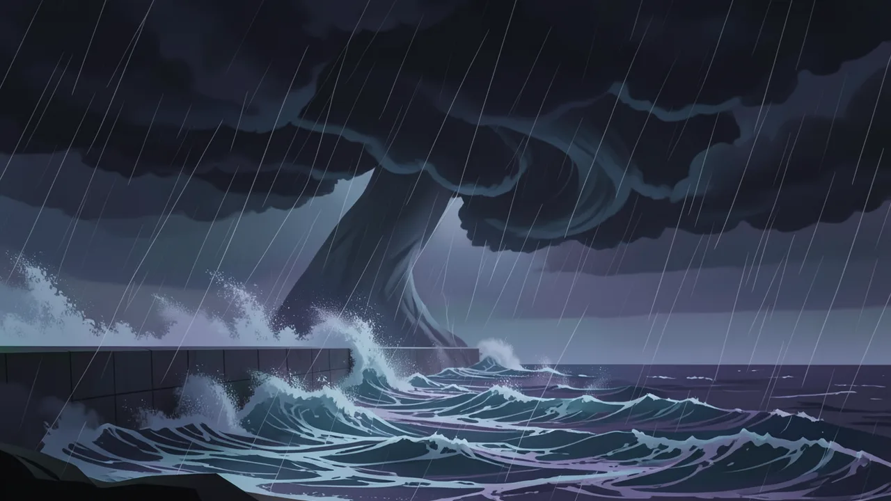
Illustration for: Hurricane Simon strikes Mexico's Pacific coast with life-threatening impacts

In brief

  • Hurricane Simon maintained Category 4 strength with sustained winds of 140 mph (220 kph) as it moved parallel to Mexico's coast.
  • The U.S. National Hurricane Center warned of catastrophic winds, life-threatening storm surge, and flooding in Jalisco, Colima, Nayarit and Michoacan.
  • Mexican President Claudia Sheinbaum urged residents to stay sheltered, while Jalisco suspended classes in 22 coastal municipalities.
  • Tourists and residents in Puerto Vallarta faced evacuations and closed waterfronts as the storm's eye remained just offshore.

Hurricane Simon strikes Mexico's Pacific coast with life-threatening impacts

Hurricane Simon struck Mexico’s Pacific coast on Sunday, October 12, as a Category 4 storm. The hurricane’s center swirled parallel to the coast, closing in on the Puerto Vallarta area, where its most damaging winds and rain were expected to hit around midnight and continue through Monday morning. The U.S. National Hurricane Center stated it was not clear if the hurricane would make landfall, which could enable it to maintain its dangerous strength.

Storm Intensity and Track

The storm sustained winds of 140 mph (220 kph) according to the U.S. National Hurricane Center. By midday Sunday, the eye was moving within about 65 miles (100 kilometres) of Cabo Corrientes at about 7 mph (11 kph). Cabo Corrientes is located at the southern tip of Bahia de Banderas, the wide bay where Puerto Vallarta looks out to the Pacific.

Phillipe Pappin, a senior hurricane center specialist, identified this westernmost tip of mainland Mexico as the area most likely to get a direct hit from the system. "We're expecting catastrophic wind and life-threatening storm surge impacts along that west-central coast of Mexico where the hurricane warning is currently in effect," Pappin said. "They're also getting very heavy rainfall associated with the storm that's likely going to produce life-threatening flooding and mudslides in areas of higher terrain along the Mexican coastline, and there will be significant swells."

Impacts on Residents and Tourists

Puerto Vallarta is a popular tourist destination in the state of Jalisco. Just inland and uphill from the resort areas, many residents live in communities where housing might not stand up to the storm. As the storm approached, National Guard vehicles patrolled the streets, and police used megaphones to urge people to take shelter. Officers reminded the public that the waterfront area was closed, though not everyone followed the orders.

Mexican President Claudia Sheinbaum took to the social platform X on Sunday to urge people in Jalisco, Colima, Nayarit and Michoacan to stay sheltered until the government issues a notification that the danger has passed. "Precautionary evacuation efforts to safe zones are ongoing; the priority is our safety," she wrote.

Jalisco state suspended classes in 22 coastal municipalities and began evacuating people from at-risk areas. Hotel worker Víctor Martínez stated he could not go to work because public transportation service was suspended and most of the hotel had been evacuated. "It happened to us before. It hit us years ago," Martínez said, referring to a Category 5 hurricane that hit the area in 2002. "People didn't expect it. We were very skeptical that it would ever hit us. Now, though, we're different. Precautions are being taken. It happened to us once, and we won't let it happen again."

Rainfall and Regional Context

The hurricane dumped rain over parts of southwestern Mexico. It could bring 10 to 20 inches of rain in many places, with some areas in the states of Michoacan, Colima and Jalisco receiving up to 30 inches. The U.S. National Hurricane Center warned of a dangerous storm surge "along the immediate coast near and to the east of where the center makes landfall."

Simon’s arrival follows Hurricane Polo, which struck Mexico last week as a Category 2 hurricane before reaching the southwestern U.S. and bringing heavy flooding to the region. While the Atlantic season saw its first named hurricane, Isaias, this week, the Pacific season has been very active.


Sources

This article was drafted with AI assistance and checked against the sources above. Company claims are reported as claims. Cover image is AI-generated.

Questions readers ask

When and where did Hurricane Simon strike?
Hurricane Simon struck Mexico's Pacific coast on Sunday, October 12, as a Category 4 storm. Its center swirled parallel to the coast, closing in on the Puerto Vallarta area.
What are the expected impacts of the storm?
The storm is expected to bring catastrophic winds, life-threatening storm surge, heavy rainfall, and significant swells. These conditions are likely to produce life-threatening flooding and mudslides in areas of higher terrain along the Mexican coastline.
What actions are officials and residents taking in response?
Mexican President Claudia Sheinbaum urged people in Jalisco, Colima, Nayarit, and Michoacan to stay sheltered. Jalisco state suspended classes in 22 coastal municipalities and began evacuating people from at-risk areas.
How much rain is the hurricane expected to dump?
The hurricane could bring 10 to 20 inches of rain in many places. Some areas in the states of Michoacan, Colima, and Jalisco may receive up to 30 inches.

The day's checked news, by email

One short email a day with the top stories. Free, and you can unsubscribe in one click.

Or follow for the latest news:

Advertisement

Comments