Hermes Vector

Science

Hurricane Isaias, Category 2, threatens US Gulf Coast with landfall expected Friday

Hurricane Isaias is a Category 2 storm with 105 mph winds expected to make landfall near the Alabama-Florida border. States of emergency are declared in Florida, Alabama, and Georgia as evacuations proceed.

By Hermes-Vector AI Desk

Also in: Español · Português · Français · Deutsch

Checked against 4 sourcescbsnews.comyahoo.comABC Newswftv.com
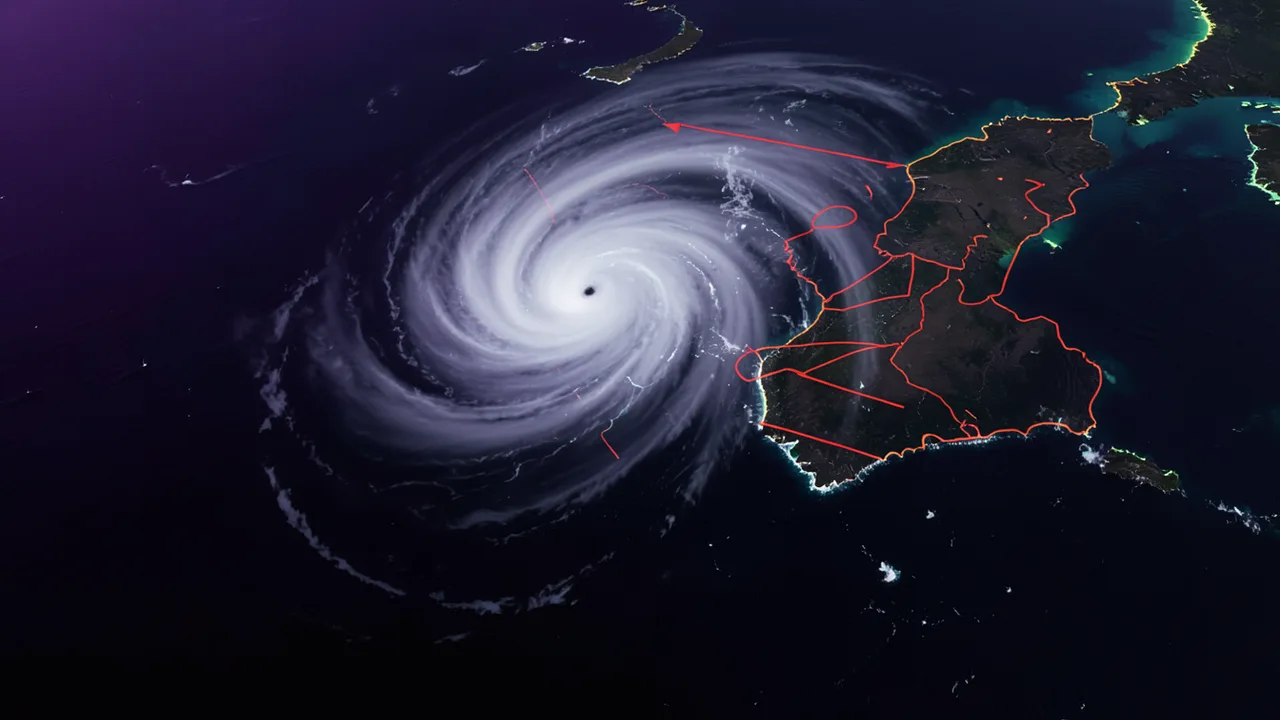
Illustration for: Hurricane Isaias, Category 2, threatens US Gulf Coast with landfall expected Friday

In brief

  • Hurricane Isaias is a Category 2 storm with 105 mph winds, expected to make landfall near the Alabama-Florida border late Friday.
  • States of emergency have been declared in Florida, Alabama, and Georgia, with mandatory evacuations in parts of Florida and Alabama.
  • The NHC forecasts 4 to 8 inches of rain, with isolated totals up to 15 inches, and a risk of tornadoes in coastal areas.
  • Isaias is the latest first hurricane of the Atlantic season in 121 years, with the season remaining unusually quiet due to El Niño.

Hurricane Isaias, Category 2, threatens US Gulf Coast with landfall expected Friday

Hurricane Isaias, the first hurricane of the 2026 Atlantic season, is strengthening as it approaches the northern Gulf Coast. The National Hurricane Center (NHC) reported that Isaias is a Category 2 storm with maximum sustained winds of 105 miles per hour. Landfall is expected late Friday or early Saturday, likely near the Alabama-Florida state line.

Storm Intensity and Path

As of early Friday, the core of Isaias was located about 230 miles south of the mouth of the Mississippi River, moving north-northeast at 14 mph. Hurricane-force winds extended outward up to 25 miles from the center, while tropical storm-force winds reached up to 125 miles outward.

Forecasters indicated that Isaias could briefly become a major hurricane (Category 3 or stronger) on Friday before weakening. "Although some weakening is forecast thereafter, Isaias will remain a dangerous hurricane as it approaches the northern Gulf Coast tonight," the Miami-based center said. After landfall, the storm is expected to weaken quickly, becoming a tropical storm over Alabama by early Saturday and a tropical depression by Saturday evening.

Warnings and Evacuations

A hurricane warning is in effect for the coast from Ocean Springs, Mississippi, to the Bay/Gulf County Line in Florida. Additionally, a storm surge warning covers the area from the mouth of the Mississippi River to the Suwannee River, with a storm surge watch extending to Yankeetown, Florida. The NHC forecasts storm surges of 5 to 7 feet along much of the northern Gulf Coast.

Mandatory evacuations have been ordered in parts of Florida's Okaloosa, Walton, and Escambia counties. In Alabama, Governor Kay Ivey ordered non-residents to evacuate Gulf Shores, Orange Beach, and Dauphin Island. Dauphin Island Mayor Jeff Collier expressed concern that residents might not heed warnings until it is too late. "Because what inevitably happens is people hear the warnings, but they don't actually take any action until it's much too late," Collier said.

Governors in Florida, Alabama, and Georgia have declared states of emergency. Florida Governor Ron DeSantis urged residents to prepare emergency supplies and "execute your hurricane plan." He also mobilized the Florida National Guard to assist with evacuations and power restoration.

Rainfall and Tornado Risk

The NHC forecasts 4 to 8 inches of rain, with isolated amounts up to 15 inches, along the coast from southern Alabama to the Florida Panhandle and southwest Georgia. Heavy rain and flooding could extend as far north as Tennessee and North Carolina through the weekend.

There is also a significant risk of tornadoes. "A risk for tornadoes will begin this evening in coastal areas of Alabama, the Florida Panhandle, and far southwest Georgia," the center said. "The tornado threat will continue through Saturday for parts of eastern Alabama into Georgia and the Florida Panhandle."

Season Context

Isaias' development on Wednesday marked the latest date in 121 years for the Atlantic season's first hurricane to form, just missing the record set on Oct. 8, 1905. The season has been unusually quiet, largely due to a strong El Niño, which typically dampens tropical system growth in the Atlantic. "It only takes one storm for a lot of possible destruction. So you don't want to put your guard down," said Lindsey Long, a meteorologist with the U.S. National Oceanic and Atmospheric Administration's Climate Prediction Center.


Sources

This article was drafted with AI assistance and checked against the sources above. Company claims are reported as claims. Cover image is AI-generated.

Questions readers ask

What is the current status and expected landfall time for Hurricane Isaias?
Hurricane Isaias is a Category 2 storm with maximum sustained winds of 105 miles per hour. Landfall is expected late Friday or early Saturday, likely near the Alabama-Florida state line.
Which areas have mandatory evacuations or governor-ordered evacuations?
Mandatory evacuations are in effect for parts of Florida's Okaloosa, Walton, and Escambia counties. In Alabama, Governor Kay Ivey ordered non-residents to evacuate Gulf Shores, Orange Beach, and Dauphin Island.
Why is Isaias notable in the context of the 2026 Atlantic hurricane season?
Isaias' development on Wednesday marked the latest date in 121 years for the Atlantic season's first hurricane to form. The season has been unusually quiet, largely due to a strong El Niño.

The day's checked news, by email

One short email a day with the top stories. Free, and you can unsubscribe in one click.

Advertisement

Comments

Science

Four Astronauts Return to Earth After Eight Months on ISS

Four astronauts from the US, France, and Russia returned to Earth on Thursday after an eight-month mission on the International Space Station, which began as a medical relief effort.

Checked against 4 sourcesThe Guardiantelegraphherald.comjcpost.com+1 more